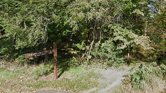
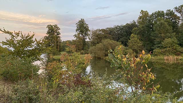
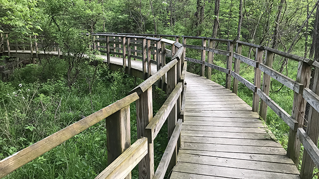
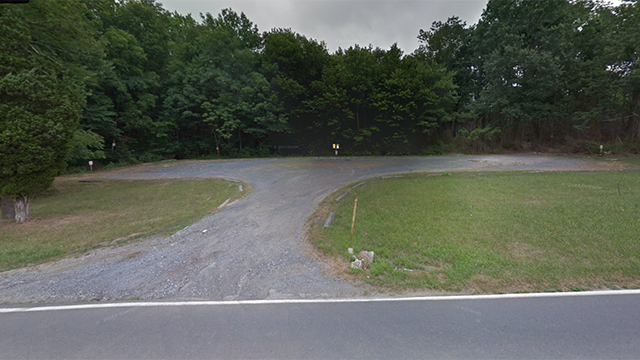
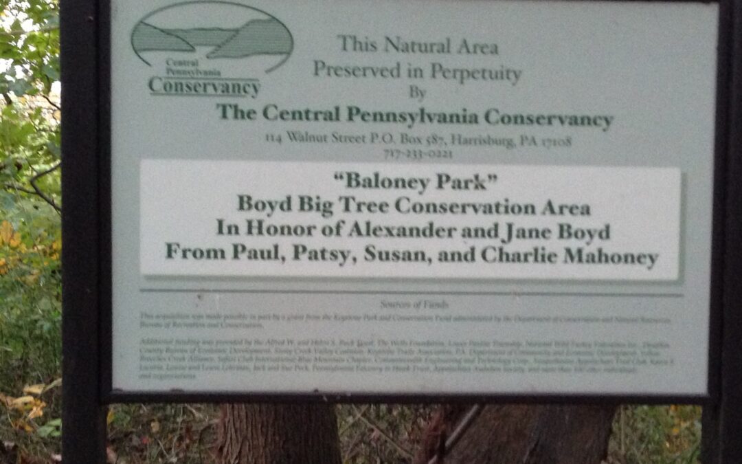
Hocker Park

Hocker Park

At Hocker park you can do 3.4 mile lollipop hike into Boyd’s.  There is a steep descent and ascent of approximately 325 feet.  Except for those two areas, this trail is fairly level and a good choice for anytime of the year.  You can add mileage by doing loops in Boyd’s Big Tree.  The distance to Boyd’s is approximately 1 mile each way.  To do the outer loop at Boyd’s you would have approximately 6.5 miles including the out and back. 

Plenty of parking available.  There are two picnic tables and a grill available in the parking lot.  A lot of food options are also available on Linglestown Road.

General Directions:

Hocker Park can be accessed from Route 443, Linglestown Road or I81 

From I 81 Linglestown Road Exit:
From Exit 72B toward Linglestown:
Merge N. Mountain Road 0.4 mile
At circle , take 3rd exit onto Linglestown Road 0.3 mi
At circle take 1st exit onto Blue Mountain Parkway 0.2 mi
LEFT to stay on Blue Mountain Parkway 0.7 mile
LEFT to stay on Blue Mountain Parkway 1.1 mile
Hocker Park at top of hill on left side 

From Front Street :
Head North on Front Street and turn right onto Linglestown Road
Drive approximately 9.8 miles and turn left onto Parkway West
Drive approximately 2 miles and turn left onto Blue Mountain Parkway
Hocker park will be on your left in 3/10 of a mile 

From 443:
From Front Street drive approximately 6.3 miles and turn right onto Blue Mountain Parkway
Stay on Blue Mountain Parkway for approximately 1.7 miles
Hocker Park will be on your right at the top of the hill  

Hocker Park:
2280 Blue Mountain Parkway
Harrisburg, PA 17109
Link to driving map
Link to website


Wednesday Nights

at 6:00 PM


Contact Us

© 2023 Unigraphics Communications

Hotel Hershey

Hotel Hershey

The Hotel Hershey has trails around and behind the hotel.  They are mainly flat with a few small hills to climb.  You can get up to 4 miles in and around combining walks and paths.  Best place to park is in front of the hotel.  

Plenty of options to eat afterwards either at the hotel or in the area.

General Directions:
FROM I-83 Follow 83 to 322 East and get off at the Hersheypark exit Route 39 onto Hersheypark Drive.  When you see the park on your right, look for Hotel Road on your left and turn left.  The Hotel entrance will be on your left approx 4/10 mile and directly across from the Hershey Gardens
FROM I-81 The best option here is to take I-81 to Exit 77 Manada Hill and 39 East.  Take 39 East towards Hershey until you come to Hersheypark Drive in approx. 7 miles and turn left.  Take the very next left onto Hotel Road.  The Hotel entrance will be on your left approx 4/10 mile and directly across from the Hershey Gardens.

100 Hotel Road
Hershey, PA 17033

Link to their website

Link to map


AT Boiling Spring

AT Boiling Spring

At the AT Crossing in Boiling Springs you can hike North or South on the AT.  The closest parking lot is at the Boiling Springs Tavern as of 2024, the Tavern is temporarily closed for renovations.  You should continue to check and confirm it is closed before choosing this parking lot as your meeting point.

The next closest lot in to park at the Iron Furnace near the Children’s Lake in Boiling Springs

General Directions:
The Boiling Springs Tavern is located in the Center of Boiling Springs across from the Children’s Lake.  It is off of 174 just before the stop sign at Front Street.

The parking lot for the Iron Furnace is located at the other end of Children’s Lake just off of Bucher Hill Road.

Boiling Springs Tavern:
1 E 1st Street
Boiling Springs PA 17007

Link to driving map


Boiling Springs Iron Furnace:
100 Bucher Hill Road
Boiling Springs PA 17007

Link to driving map


Little Buffalo State Park

Little Buffalo State Park

Trails are available at the park ranging from Easy to Moderate.  They can be combined to do a loop around the lake.  The park has several programs throughout the year, including Light Up Little Buffalo in December.  The Park is open from Sunrise to Sunset.

General Directions:
From PA 322, take the Newport Exit and follow PA 34 south through the town of Newport. One mile from town, turn right onto Little Buffalo Road to the park. From PA 322 to the park entrance is 4.6 miles.

Parking is also available at the Old Office which is at the corner of Little Buffalo and Gill Hill Roads.

1579 Little Buffalo Road
Newport, PA. 17074

Link to Website

Link to Driving Map

Plenty of picnic tables are available for potluck afterwards. 

Scott’s Farm

Scott’s Farm

Large parking lot that can fit up to 8 vehicles. You can walk in either direction on the Appalachian Trail for as many miles as you choose for an out and back. It is a mainly flat and easy section of the Appalachian Trail until you get past Wertzville Road the the trail begins to climb the mountain to the Cumberland Valley Overlook.
Next parking option is Sherwood Drive heading North and the Carlisle Pike heading South.

General Directions:
Scott’s Farm Trail Work Center:
From Rt. 81 take the Rt. 114/Mechanicsburg Exit.
Head toward Mechanicsburg.
At the intersection of Carlisle Pike/Rt.11 turn RIGHT.
Pass Cumberland Valley Education Park & enter New Kingstown.
At the gas station turn RIGHT on Ridge Hill Rd.
At Bernhisel Bridge Rd. turn LEFT.
Follow to the bridge over the Conodoquinet Creek
Scotts Farm is on your left

301 Bernheisel Bridge Road
Carlisle, PA 17015

Link to Website

Link to driving map


A large picnic table is at the farm for potluck dinners afterwards.  There is usually a port-a-potty during the summer months.

State Game Lands 246

State Game Lands 246

A horseshoe shaped trail with a lollipop extension that you can use for an approx 3-5 mile hike.  Another parking lot is available off of Roundtop Road.

General Directions:
Take Route 283 South (toward the PA Turnpike)
Take exit on to Route 283 East (toward Lancaster)
Take Route 283 East to the Middletown/Hummelstown Exit
At the light at the top of the ramp turn LEFT on Vine Street
Go 2 more stop lights and turn RIGHT on Schoolhouse Road
Go to the 4 way stop at Roundtop Rd., continue straight on Schoolhouse Road
After approx. 0.4 mile to the State Game Lands parking area on your LEFT
Be careful pulling into the lot, it is usually rutted 


1692 Schoolhouse Road
Middletown, PA 17057
(parking lot is across the street from this address)

Link to download pdf map

Link to driving map