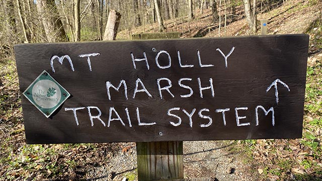
Mount Holly Marsh Preserve
Mount Holly Marsh has 7 miles of trails ranging from easy to challenging. There is hunting permitted in the area so wear orange and be mindful of hunting seasons. You can fish in Mountain Creek. The trail can be a bit muddy at time during the wet season and also along the creek.
Plenty of room in the parking lot to have a potluck but it can be buggy in the summer.
Cassell’s Grille is close by in Mount Holly Springs and a good option for dinner.
Link to their website
General Directions:
From Route 81 exit 47A Route 34 South
Go through Mt Holly Springs
Shortly after leaving town, the trail head road is just after the old Log Cabin Restaurant on right.


